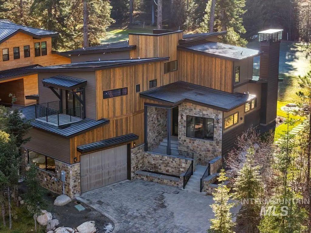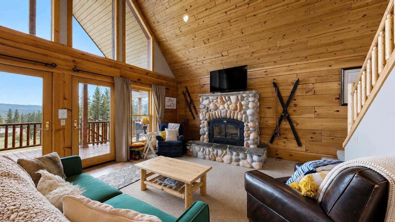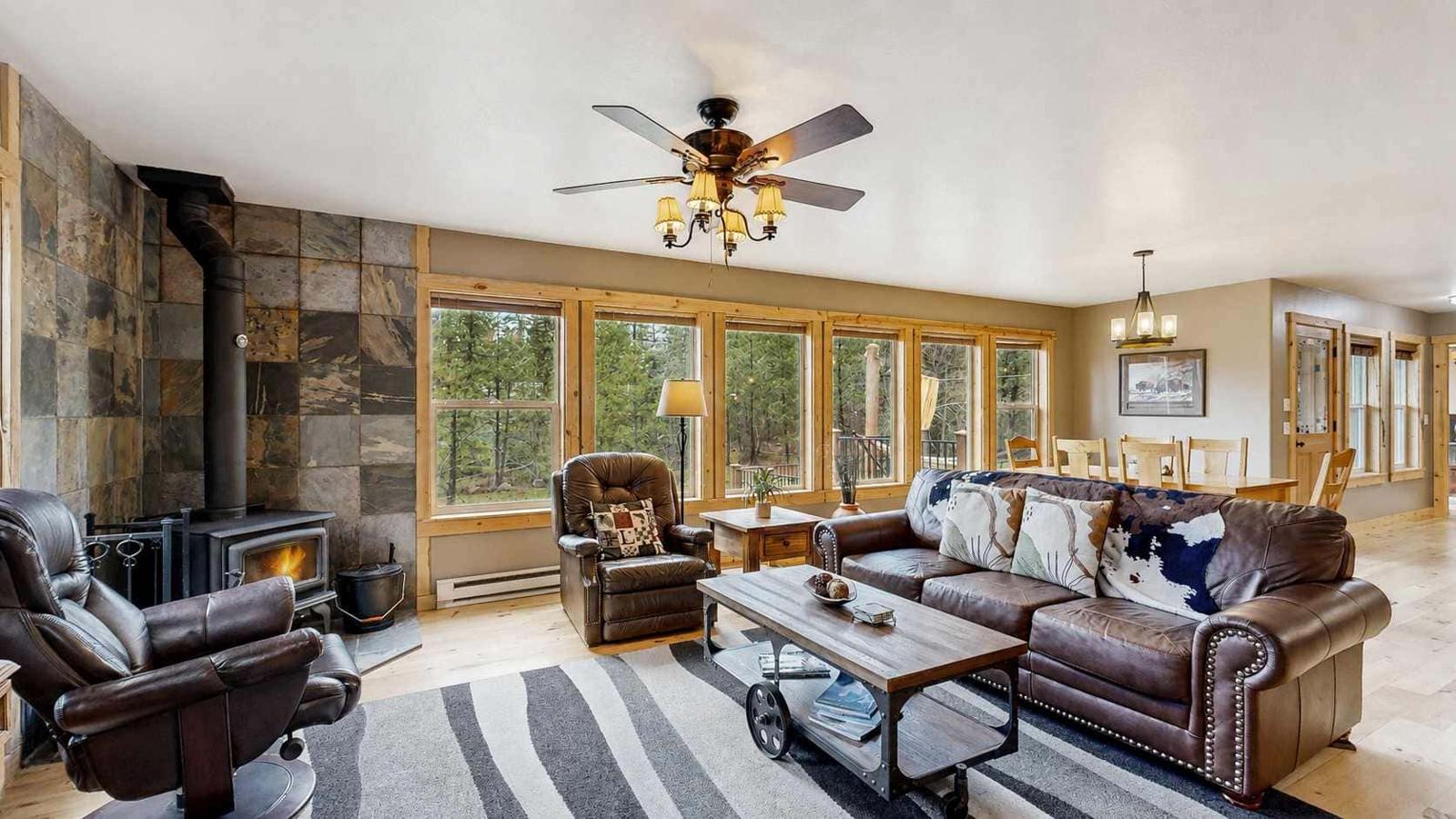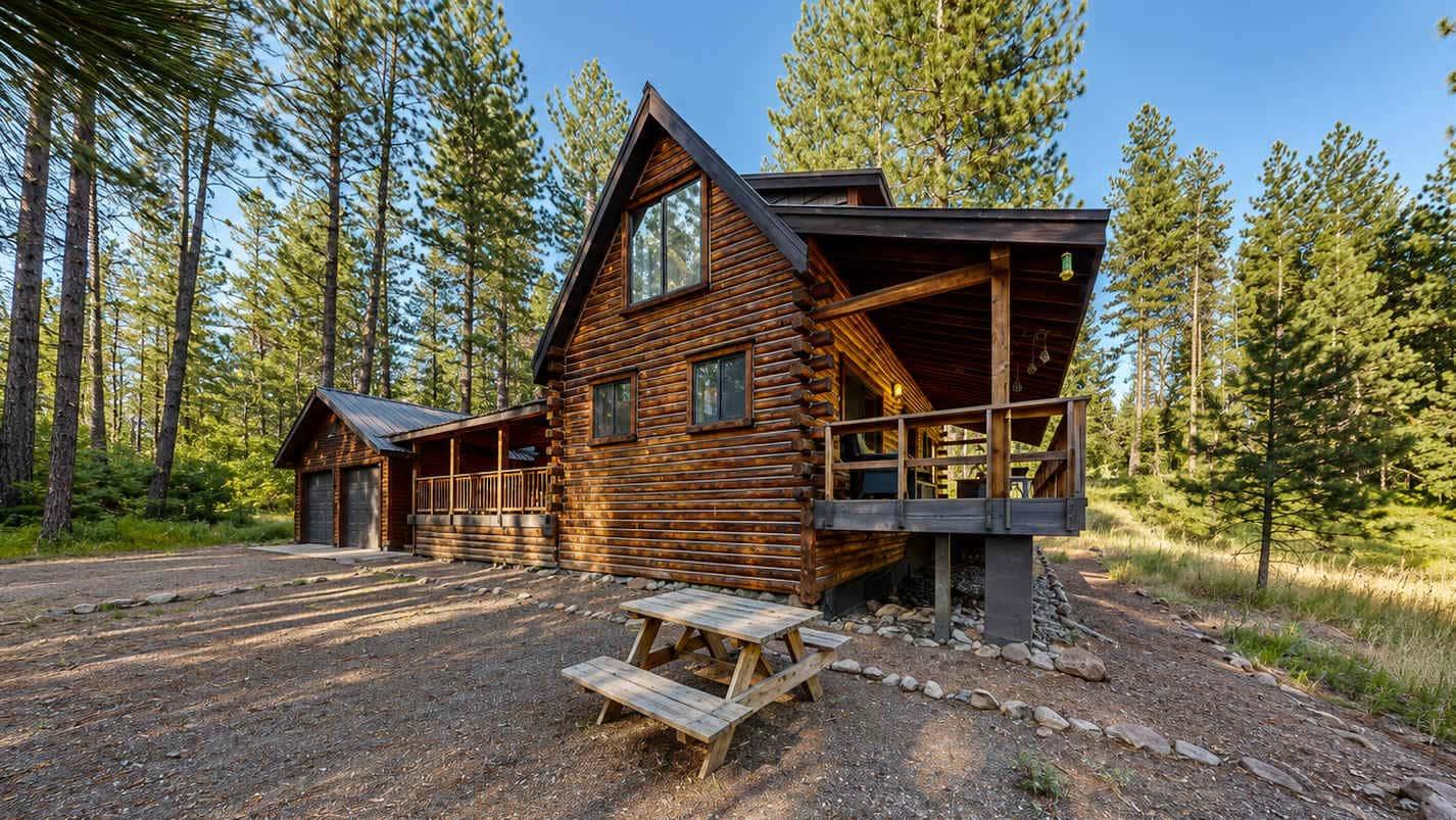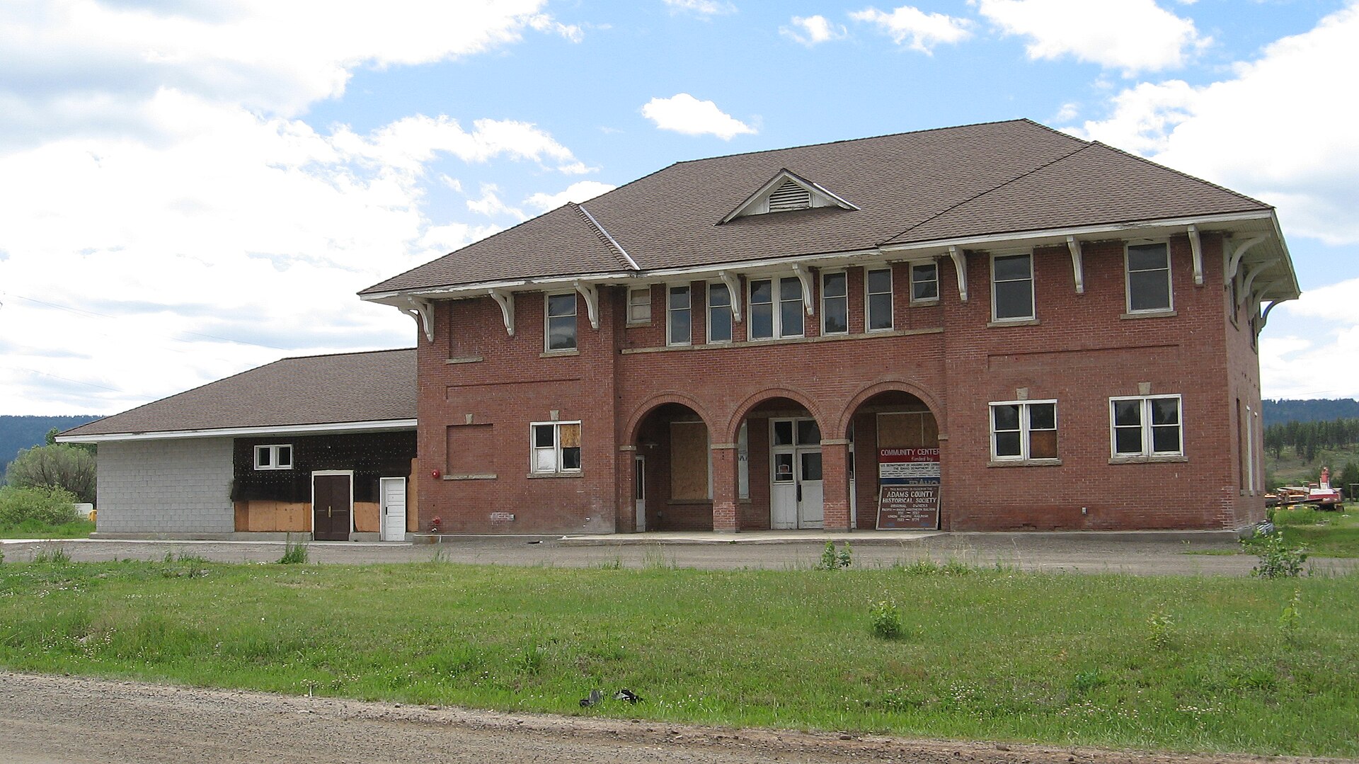
Got a great photo or video of this place? Get it featured here, with credit and a link to your page. Submit yours.
- 659Population
About New Meadows
New Meadows is a city in Adams County. About 659 people lived here in 2024, by Census estimate. It sits at about 3,900 feet, 95 miles north of Boise in a straight line.
Places listed for this area include Lost Creek Falls and Dorsey Warr Memorial Park.
Moving to New Meadows
Start with homes, jobs and local services in and around New Meadows.
Cost of living
New Meadows is outside the Idaho metros with a 2024 federal price figure, so this uses the Idaho statewide level. A basket that costs $100 in the U.S. costs $95.49 here, under the U.S. average by 4.5%.
Open the calculator- Homes on the mapSearch homes for sale near town
- Public schools1 public school
- DMV and utilitiesCounty offices, and gas service only where a utility names this town
- Local services1 local business
- Moving to Idaho checklistDriver's license, vehicle registration, voter registration and more, from official Idaho sources
Public schools in New Meadows
All 1District, enrollment, and students per teacher from the federal 2024-25 directory. No ratings.
- Meadows Valley School
Meadows Valley District · PK-12
142 students · 8.9 students per teacher
Services for New Meadows
All servicesDMV counters are the county offices. A gas utility appears only when its public list names New Meadows.
- Council · Vehicles
201 Industrial Ave Council, ID 83612-0046 PO Box 46
· Mon. - Fri. 8:00 AM - 5:00 PM
- Council · Driver's licenses
201 Industrial Ave Council, ID 83612
· Mon. - Thur. 7:30 AM - 5:00 PM
No natural gas utility on the official town lists names New Meadows.
Allergy ratings in New Meadows
What a typical year looks like: Low, Moderate or High for each pollen season, plus wildfire smoke. Typical, general guidance. It is not medical advice. Pollen and smoke change with the weather every year, and what bothers you depends on what you are allergic to. See an allergist for testing.
Spring trees
March to June
Moderate
Rating: Moderate, on a scale of Low, Moderate, High, Very High. Peaks in AprilEarly-summer grass
Late May to July
High
Rating: High, on a scale of Low, Moderate, High, Very High. Late May to early July, highest the first two weeks of JuneFall weeds and sagebrush
August to October
High
Rating: High, on a scale of Low, Moderate, High, Very High. Weeds from mid-August, sagebrush heaviest mid-September to mid-OctoberWildfire smoke
Mostly July to September
Moderate
Rating: Moderate, on a scale of Low, Moderate, High. 5.4 days a year with air quality over 100. Worst year 9 (2021).
Regional rating. New Meadows has no pollen counter. These pollen ratings come from the Boise station in the Treasure Valley, 94 miles away.
How these ratings are worked out
Pollen is rated on the National Allergy Bureau bands for the grains of pollen in a cubic meter of air. Trees: Low under 15, Moderate 15 to 89, High 90 to 1,499. Weeds: Low under 10, Moderate 10 to 49, High 50 to 499. Grass: Low under 5, Moderate 5 to 19, High 20 to 199. The band is the one reached on the busiest quarter of counted days. A rating is typical, not a forecast: one wet or windy year can move it.
Spring trees, Moderate. Boise NAB station, 62 counted days in 2017 to 2021: on the busiest quarter of days the tree count was 74 grains per cubic meter or more, which the NAB bands call Moderate. On the busiest tenth of days it was 104 or more. That is a short record, so treat it as a rough guide. The Allergy Group's own Boise counts agree: 25 to 30 tree pollen on a daily sample starts mild to moderate symptoms, and cottonwood and juniper reach high counts in April in dry springs.
Early-summer grass, High. The Allergy Group (Boise) reports grass counts over 100 on its 24-hour sampler in early June, and 30 is enough to bother people who react to grass. NAB calls 20 to 199 High. The NAB grass bands: Low under 5, Moderate 5 to 19, High 20 to 199, Very High 200 or more grains per cubic meter.
Fall weeds and sagebrush, High. Boise NAB station, 37 counted days in 2017 to 2019: on the busiest quarter of days the weed count was 54 grains per cubic meter or more, which the NAB bands call High. On the busiest tenth of days it was 73 or more. That is a short record, so treat it as a rough guide. The Allergy Group's own Boise counts agree: chenopod (tumbleweed, kochia, Russian thistle) peaks at 30 to 60 in late summer, and sagebrush runs 400 to 500 on a good day from mid-September to mid-October.
Wildfire smoke, Moderate. The average number of days a year the EPA's air quality index passed 100 ("unhealthy for sensitive groups" or worse), 2021-2025. Under 3 days is Low, 3 to 9 Moderate, 10 or more High. That grouping is ours, not the EPA's. Adams County has no EPA monitor, so this uses Valley County, 17 miles away. The count includes any cause, but across Idaho's monitors 86% of those days fell in July to September and 94% were fine particles (PM2.5), which is what wildfire smoke is made of (570 county-days, 2021-2025).
Year to year. The Asthma and Allergy Foundation of America ranked Boise 95th of 100 U.S. metros for pollen in its 2025 report and 1st in its 2026 report, after a wet winter and a long grass season. Expect a typical rating to miss some years.
Not rated. Mold: no published mold spore counts for Idaho towns are in the data used, so there is no mold rating. House dust, pets and food allergies are outside this rating.
Sources
- National Allergy Bureau daily pollen counts, CDC release 2003 to 2024 (Boise, Twin Falls, Coeur d'Alene stations)
- NAB pollen level bands (grains per cubic meter)
- The Allergy Group, Boise: Southwest Idaho pollen seasons (clinic counts since 1971)
- EPA AirData: annual AQI by county
- Asthma and Allergy Foundation of America, 2026 Allergy Capitals report
Today
Pollen data through 2003-2024, smoke data 2021-2025. Checked 2026-10-03.
Map of New Meadows
Parks, new home communities, homes for sale and stays listed in town. Select a pin to open it.
- New Meadows
- Park
- Stays
Parks in New Meadows
2 named parks on OpenStreetMap.
- Dorsey Warr Memorial Park
- Packer Johns Cabin State Park
Parks, trails and things to do
All of IdahoPlaces in and around New Meadows, nearest first: everything tied to New Meadows plus anything within 15 miles of town.
Things to do
Waterfalls
- Lost Creek Fallswaterfall9.0 mi
- Driessen Fallswaterfall · near McCall12 mi
- Bear Creek Fallswaterfall20 mi
Hot springs
- Starkey Hot Springshot spring · near Council11 mi
Lakes
- Payette Lakelake · near McCall9.7 mi
- Crestline Lakelake · near McCall14 mi
Viewpoints
- Osprey Cliff Overlookviewpoint · near McCall10 mi
Ski areas
- Little Ski Hillski area · near McCall6.8 mi
- Bear Basin Nordic Centerski area · near McCall7.0 mi
- Brundage Mountainski area · near McCall7.3 mi
- McCall Activity Barnski area · near McCall11 mi
Museums
- Central Idaho Historical Museummuseum · near McCall9.6 mi
Historic sites
- Elo Schoolhistoric site · near McCall13 mi
Parks
- Ponderosa State Parkstate park · near McCall11 mi
- here
- 3.0 mi
- Whitetail Club Parknear McCall7.9 mi
- Rotary Parknear McCall9.2 mi
- Brown Parknear McCall10 mi
- Art Roberts Parknear McCall10 mi
- Legacy Parknear McCall10 mi
- Riverfront Parknear McCall10 mi
- Big Chair Parknear McCall10 mi
- Wild Horse Parknear McCall11 mi
- Box Creek Wilderness Study Areanature reserve · near McCall13 mi
Trails (nearest 12 of 82)
- Baby Bear1 mi long · intermediate bike trail6.2 mi
- Black Bear3.2 mi long · intermediate bike trail6.2 mi
- Goose Creek Falls Trail1.2 mi long6.2 mi
- Goose Creek Trail5.7 mi long · difficult bike trail6.2 mi
- Westy Trail2 mi long · intermediate bike trail · near McCall6.2 mi
- Lower Drain Trail0.4 mi long · difficult bike trail · near McCall6.3 mi
- Grand Traverse Trail1.6 mi long · intermediate bike trail · near McCall6.4 mi
- Upper Drain Trail0.6 mi long · intermediate bike trail · near McCall6.4 mi
- Blue Ridge Loop1.3 mi long · intermediate bike trail · near McCall6.7 mi
- Too Short0.5 mi long · intermediate bike trail · near McCall6.7 mi
- Della's Delight Trail0.4 mi long · intermediate bike trail · near McCall6.7 mi
- Rising Sun Trail1 mi long · intermediate bike trail · near McCall6.9 mi
Distances are straight-line miles. From state and federal agency pages, the USGS place names list and OpenStreetMap contributors. Checked October 2, 2026. Check the official page for hours, fees and closures before you go.
Gem hunt in New Meadows today
Loading today’s stones…
Top hunters in New Meadows
No stones found in New Meadows this week yet.
Loading deals…
Moving checklist: setting up a home in New Meadows
Shop room by room for the new place. Discounts show only when a store has a real sale.
Thinking about moving to Idaho?
Answer a few short questions. You get a shortlist of towns, homes for sale, jobs and things to do, built from what is listed on Treasure Idaho.