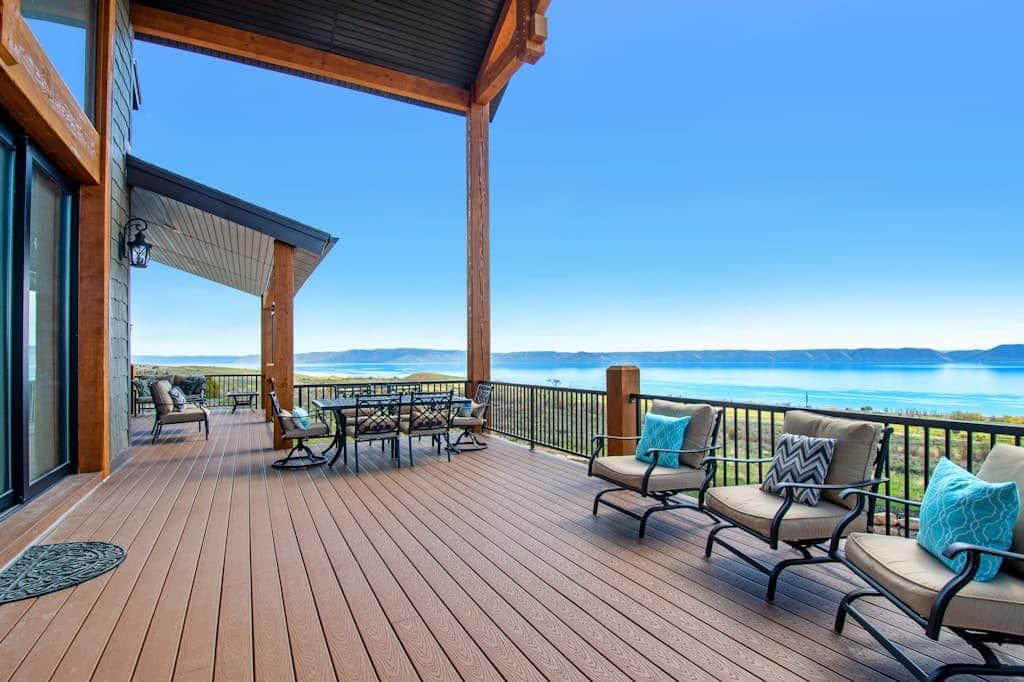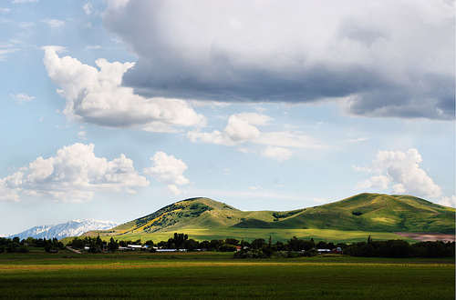
Got a great photo or video of this place? Get it featured here, with credit and a link to your page. Submit yours.
- 572Population
About Weston
Weston is a city in Franklin County. About 572 people lived here in 2024, by Census estimate. It sits at about 4,700 feet, 63 miles southeast of Pocatello in a straight line.
Places listed for this area include Wayland Hot Springs and Bear River Massacre Site.
Moving to Weston
Start with homes, jobs and local services in and around Weston.
Cost of living
This is the Logan metro price level, which covers Weston. A basket that costs $100 in the U.S. costs $95.93 here, under the U.S. average by 4.1%.
Open the calculatorServices for Weston
All servicesDMV counters are the county offices. A gas utility appears only when its public list names Weston.
- Preston · Vehicles
39 W Oneida Preston, ID 83263-1295
· Mon. - Fri. 9:00 AM - 5:00 PM
- Preston · Driver's licenses
39 W Oneida St Preston, ID 83263
· Mon. - Fri. 9:00 AM - 5:00 PM
No natural gas utility on the official town lists names Weston.
Allergy ratings in Weston
What a typical year looks like: Low, Moderate or High for each pollen season, plus wildfire smoke. Typical, general guidance. It is not medical advice. Pollen and smoke change with the weather every year, and what bothers you depends on what you are allergic to. See an allergist for testing.
Spring trees
March to June
Moderate
Rating: Moderate, on a scale of Low, Moderate, High, Very High. Peaks in AprilEarly-summer grass
Late May to July
High
Rating: High, on a scale of Low, Moderate, High, Very High. Late May to early JulyFall weeds and sagebrush
August to October
High
Rating: High, on a scale of Low, Moderate, High, Very High. Peaks in SeptemberWildfire smoke
Mostly July to September
Low
Rating: Low, on a scale of Low, Moderate, High. 2.2 days a year with air quality over 100. Worst year 6 (2021).
Regional rating. Weston has no pollen counter. These pollen ratings come from the Twin Falls station in the Magic Valley, 132 miles away.
How these ratings are worked out
Pollen is rated on the National Allergy Bureau bands for the grains of pollen in a cubic meter of air. Trees: Low under 15, Moderate 15 to 89, High 90 to 1,499. Weeds: Low under 10, Moderate 10 to 49, High 50 to 499. Grass: Low under 5, Moderate 5 to 19, High 20 to 199. The band is the one reached on the busiest quarter of counted days. A rating is typical, not a forecast: one wet or windy year can move it.
Spring trees, Moderate. Twin Falls NAB station, 757 counted days in 2003 to 2024: on the busiest quarter of days the tree count was 54 grains per cubic meter or more, which the NAB bands call Moderate. On the busiest tenth of days it was 125 or more.
Early-summer grass, High. No grass counts are published for Twin Falls. The Treasure Valley figure is used: the same Snake River Plain, and Twin Falls tree and weed counts match Boise's pattern. The NAB grass bands: Low under 5, Moderate 5 to 19, High 20 to 199, Very High 200 or more grains per cubic meter.
Fall weeds and sagebrush, High. Twin Falls NAB station, 536 counted days in 2004 to 2023: on the busiest quarter of days the weed count was 71 grains per cubic meter or more, which the NAB bands call High. On the busiest tenth of days it was 114 or more.
Wildfire smoke, Low. The average number of days a year the EPA's air quality index passed 100 ("unhealthy for sensitive groups" or worse), 2021-2025. Under 3 days is Low, 3 to 9 Moderate, 10 or more High. That grouping is ours, not the EPA's. Franklin County has its own EPA air monitor. The count includes any cause, but across Idaho's monitors 86% of those days fell in July to September and 94% were fine particles (PM2.5), which is what wildfire smoke is made of (570 county-days, 2021-2025).
Not rated. Mold: no published mold spore counts for Idaho towns are in the data used, so there is no mold rating. House dust, pets and food allergies are outside this rating.
Sources
- National Allergy Bureau daily pollen counts, CDC release 2003 to 2024 (Boise, Twin Falls, Coeur d'Alene stations)
- NAB pollen level bands (grains per cubic meter)
- The Allergy Group, Boise: Southwest Idaho pollen seasons (clinic counts since 1971)
- EPA AirData: annual AQI by county
Today
Pollen data through 2003-2024, smoke data 2021-2025. Checked 2026-10-03.
Map of Weston
Parks, trails and things to do
All of IdahoPlaces in and around Weston, nearest first: everything tied to Weston plus anything within 15 miles of town.
Things to do
Hot springs
- Wayland Hot Springshot spring · near Dayton7.1 mi
Historic sites
- Bear River Massacre Sitehistoric site · near Preston7.9 mi
Attractions
- 1860 Franklinattraction · near Franklin7.8 mi
Parks
- Craner Recreational Complexnear Preston6.4 mi
- Benson Parknear Preston6.6 mi
- Franklin City Parknear Franklin9.1 mi
Trails
- Oxford Ridge Overlook Trail0.7 mi long · near Clifton13 mi
- Clifton Basin Trailheadtrailhead · near Clifton10 mi
- Sugar Creek Trailheadtrailhead · near Franklin15 mi
Distances are straight-line miles. From state and federal agency pages, the USGS place names list and OpenStreetMap contributors. Checked October 2, 2026. Check the official page for hours, fees and closures before you go.
Gem hunt in Weston today
Loading today’s stones…
Top hunters in Weston
No stones found in Weston this week yet.
Loading deals…
Moving checklist: setting up a home in Weston
Shop room by room for the new place. Discounts show only when a store has a real sale.
Thinking about moving to Idaho?
Answer a few short questions. You get a shortlist of towns, homes for sale, jobs and things to do, built from what is listed on Treasure Idaho.