 Illustration
Got a great photo or video of this place? Get it featured here, with credit and a link to your page. Submit yours.
- 40,695Population
About Rexburg
Rexburg is a city in Madison County, where it is the county seat. About 40,695 people lived here in 2024, by Census estimate. It sits at about 4,900 feet, 26 miles northeast of Idaho Falls in a straight line.
Places listed for this area include the Romney Geology Museum and the Legacy Flight Museum.
Moving to Rexburg
Start with homes, jobs and local services in and around Rexburg.
Cost of living
Rexburg is outside the Idaho metros with a 2024 federal price figure, so this uses the Idaho statewide level. A basket that costs $100 in the U.S. costs $95.49 here, under the U.S. average by 4.5%.
Open the calculator- Homes on the mapSearch homes for sale near town
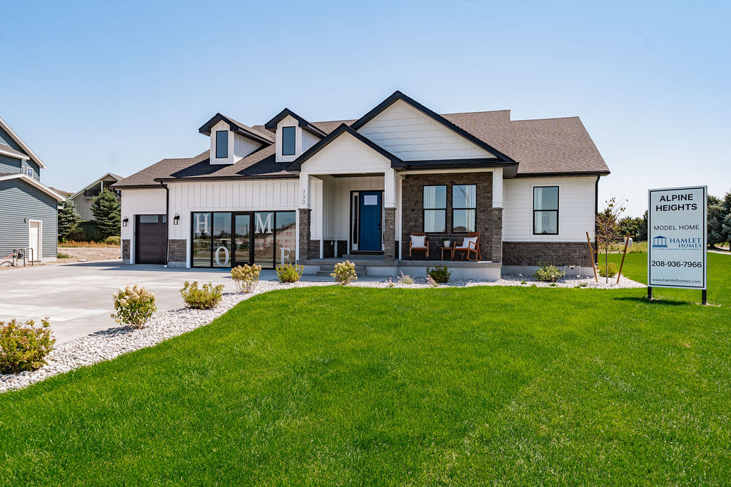
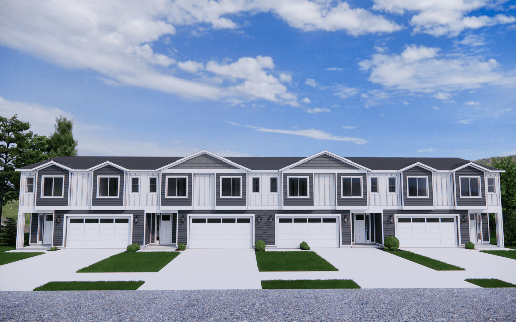
- Compare communitiesCompare the 2 new home communities in Rexburg side by side
- Jobs56 open jobs in Rexburg
- Public schools12 public schools
- DMV and utilitiesCounty offices, and gas service only where a utility names this town
- Local services11 local businesses
- Moving to Idaho checklistDriver's license, vehicle registration, voter registration and more, from official Idaho sources
Public schools in Rexburg
All 12District, enrollment, and students per teacher from the federal 2024-25 directory. No ratings.
- Adams Elementary School
Madison District · K-4
270 students · 24.5 students per teacher
- Burton Elementary School
Madison District · PK-4
516 students · 22.4 students per teacher
- Central High School
Madison District · 6-12
93 students · 13.3 students per teacher
- Hibbard Elementary School
Madison District · K-4
292 students · 20.9 students per teacher
- Kennedy Elementary School
Madison District · K-4
391 students · 21.7 students per teacher
- Lincoln Elementary School
Madison District · K-4
340 students · 20 students per teacher
Services for Rexburg
All servicesDMV counters are the county offices. A gas utility appears only when its public list names Rexburg.
- Rexburg · Driver's licenses
510 North 2nd East Street Rexburg, ID 83440 Suite 1
· Mon. - Fri. 7:00 AM - 5:30 PM
- Rexburg · Vehicles
510 North 2nd East Street, Suite 1 Rexburg, ID 83440-1911
· Mon - Fri: 8:30 AM - 5:00 PM
- Intermountain Gas · natural gas, on the company's town list. A main is not guaranteed at every address.
Crime rate
70violent crimes per 100,000 people
QuietRexburg has the 19th highest rate of the 21 Idaho cities that reported a 2024 figure to the FBI.
Source: FBI Uniform Crime Reporting, 2024. Cities that did not publish a rate are left out.
Allergy ratings in Rexburg
What a typical year looks like: Low, Moderate or High for each pollen season, plus wildfire smoke. Typical, general guidance. It is not medical advice. Pollen and smoke change with the weather every year, and what bothers you depends on what you are allergic to. See an allergist for testing.
Wildfire smoke
Mostly July to September
Low
Rating: Low, on a scale of Low, Moderate, High. 2 days a year with air quality over 100. Worst year 9 (2021).
No pollen rating for Rexburg. The nearest National Allergy Bureau counting station in Idaho data is Twin Falls, 160 miles away, which is farther than we borrow a rating from. Mountain valleys can differ a lot from the plains. Look up today's counts instead.
How these ratings are worked out
Pollen is rated on the National Allergy Bureau bands for the grains of pollen in a cubic meter of air. Trees: Low under 15, Moderate 15 to 89, High 90 to 1,499. Weeds: Low under 10, Moderate 10 to 49, High 50 to 499. Grass: Low under 5, Moderate 5 to 19, High 20 to 199. The band is the one reached on the busiest quarter of counted days. A rating is typical, not a forecast: one wet or windy year can move it.
Wildfire smoke, Low. The average number of days a year the EPA's air quality index passed 100 ("unhealthy for sensitive groups" or worse), 2021-2025. Under 3 days is Low, 3 to 9 Moderate, 10 or more High. That grouping is ours, not the EPA's. Madison County has no EPA monitor, so this uses Bonneville County, 25 miles away. The count includes any cause, but across Idaho's monitors 86% of those days fell in July to September and 94% were fine particles (PM2.5), which is what wildfire smoke is made of (570 county-days, 2021-2025).
Not rated. Mold: no published mold spore counts for Idaho towns are in the data used, so there is no mold rating. House dust, pets and food allergies are outside this rating.
Sources
Today
Pollen data through 2003-2024, smoke data 2021-2025. Checked 2026-10-03.
Map of Rexburg
Parks, new home communities, homes for sale and stays listed in town. Select a pin to open it.
- Rexburg
- Park
- Communities
- Stays
Parks in Rexburg
11 named parks on OpenStreetMap.
- Beaver Dick Park
- Eagle Park
- Evergreen Park
- Hidden Valley Park
- Historic Monument Site of First Ferry
- Mill Hollow Park
- Oakbrook Pit
- Park Street Park
- Porter Park
- Rexburg Nature Park
- Smith Park
Parks, trails and things to do
All of IdahoPlaces in and around Rexburg, nearest first: everything tied to Rexburg plus anything within 15 miles of town.
Things to do
Viewpoints
- Teton Dam Scenic Overlookviewpoint · near Newdale14 mi
Museums
- Romney Geology Museummuseum0.5 mi
- Legacy Flight Museummuseum1.1 mi
- Farnsworth TV & Pioneer Museummuseum · near Rigby13 mi
Historic sites
- Fort Henry Historic Monumenthistoric site · near Parker6.9 mi
- Bubble Bridgehistoric site · near St. Anthony9.3 mi
- Teton Damhistoric site · near Newdale14 mi
Attractions
- Rexburg Spray Parkattraction0.3 mi
- Rexburg Rapidsattraction0.4 mi
- Yellowstone Safari Parkattraction · near Sugar City4.4 mi
- Yellowstone Bear Worldattraction · near Rigby7.3 mi
- Scott Samuelson Labrinthattraction · near Menan13 mi
- Heise Hot Springsattraction · near Ririe14 mi
Day use and picnic areas
- Egin Lakes CG Day Use Arearecreation site · near Parker9.9 mi
Parks (nearest 12 of 41)
- St. Anthony Sand Dunesrecreation area · near Parker13 mi
- 0.2 mi
- 0.5 mi
- 0.8 mi
- 0.8 mi
- 0.8 mi
- 0.8 mi
- 0.8 mi
- 1.0 mi
- 1.2 mi
- 1.3 mi
- Rembish Parknear Sugar City3.4 mi
Trails
- Tenderfoot0.8 mi long0.9 mi
- Taut Line0.4 mi long1.0 mi
- Menan Butte Rim Trail2 mi long · near Menan9.5 mi
- Menan Butte Crater Trail0.6 mi long · near Menan9.7 mi
- Menan Butte Trail0.8 mi long · near Menan10 mi
- Green Belt1.2 mi long · near St. Anthony11 mi
- Cress Creek0.4 mi long · near Ririe12 mi
- Cress Creek Nature Trail0.6 mi long · near Ririe12 mi
- Rodeo0.7 mi long · near Rigby13 mi
Distances are straight-line miles. From state and federal agency pages, the USGS place names list and OpenStreetMap contributors. Checked October 2, 2026. Check the official page for hours, fees and closures before you go.
Gem hunt in Rexburg today
Loading today’s stones…
Top hunters in Rexburg
No stones found in Rexburg this week yet.
Loading deals…
Moving checklist: setting up a home in Rexburg
Shop room by room for the new place. Discounts show only when a store has a real sale.
Jobs in Rexburg
All jobsCompanies hiring
- Madison Health25
- Madison School District 3217
- Broulim's Fresh Foods4
- Mountain View Hospital4
- Redstone Residential3
- Les Schwab Tire Centers2
- Maverik2
- Basic American Foods1
16 companies have open jobs here.
Latest jobs
- Commercial Tire Service Technician - Rexburg #114Les Schwab Tire Centers · Full-Time
- Tire Technician - Rexburg #114Les Schwab Tire Centers · Full-Time
- U-Box Customer Care Representative (CDL)U-Haul · Full-Time
- Leasing ManagerRedstone Residential · Full-Time
- Relationship Banker II - ID-Rexburg (35hrs)U.S. Bank · Full-Time
- Acute & Critical Care - Charge Nurse - (FT)Madison Health · Full-Time$29
Thinking about moving to Idaho?
Answer a few short questions. You get a shortlist of towns, homes for sale, jobs and things to do, built from what is listed on Treasure Idaho.