 Illustration
Got a great photo or video of this place? Get it featured here, with credit and a link to your page. Submit yours.
- 4,093Population
About St. Anthony
St. Anthony is a city in Fremont County, where it is the county seat. About 4,093 people lived here in 2024, by Census estimate. It sits at about 5,000 feet, 11 miles northeast of Rexburg in a straight line.
Places listed for this area include Bubble Bridge and Veteran Memorial Park.
Moving to St. Anthony
Start with homes, jobs and local services in and around St. Anthony.
Cost of living
St. Anthony is outside the Idaho metros with a 2024 federal price figure, so this uses the Idaho statewide level. A basket that costs $100 in the U.S. costs $95.49 here, under the U.S. average by 4.5%.
Open the calculator- Homes on the mapSearch homes for sale near town
- Jobs5 open jobs in St. Anthony
- Public schools7 public schools
- DMV and utilitiesCounty offices, and gas service only where a utility names this town
- Local services1 local business
- Moving to Idaho checklistDriver's license, vehicle registration, voter registration and more, from official Idaho sources
Public schools in St. Anthony
All 7District, enrollment, and students per teacher from the federal 2024-25 directory. No ratings.
- Five-County Detention Center
Fremont County Joint District · 5-12
18 students · 18 students per teacher
- Henrys Fork Elementary
Fremont County Joint District · PK-5
569 students · 19.6 students per teacher
- Jcc - St Anthony
Idaho Department Of Juvenile Corrections · 6-12
0 students
- Parker-Egin Elementary School
Fremont County Joint District · PK-5
95 students · 15.8 students per teacher
- South Fremont High School
Fremont County Joint District · 9-12
462 students · 17.1 students per teacher
- South Fremont Jr High
Fremont County Joint District · 6-8
367 students · 18.4 students per teacher
Services for St. Anthony
All servicesDMV counters are the county offices. A gas utility appears only when its public list names St. Anthony.
- St. Anthony · Vehicles
146 N 2nd W St. Anthony, ID 83445
· Mon. - Fri. 8:00 AM - 4:00 PM
- St. Anthony · Driver's licenses
146 N 2nd W St. Anthony, ID 83445
· Mon. - Fri. 8:00 AM - 4:45 PM
- Intermountain Gas · natural gas, on the company's town list. A main is not guaranteed at every address.
Allergy ratings in St. Anthony
What a typical year looks like: Low, Moderate or High for each pollen season, plus wildfire smoke. Typical, general guidance. It is not medical advice. Pollen and smoke change with the weather every year, and what bothers you depends on what you are allergic to. See an allergist for testing.
Wildfire smoke
Mostly July to September
Low
Rating: Low, on a scale of Low, Moderate, High. 2 days a year with air quality over 100. Worst year 9 (2021).
No pollen rating for St. Anthony. The nearest National Allergy Bureau counting station in Idaho data is Twin Falls, 170 miles away, which is farther than we borrow a rating from. Mountain valleys can differ a lot from the plains. Look up today's counts instead.
How these ratings are worked out
Pollen is rated on the National Allergy Bureau bands for the grains of pollen in a cubic meter of air. Trees: Low under 15, Moderate 15 to 89, High 90 to 1,499. Weeds: Low under 10, Moderate 10 to 49, High 50 to 499. Grass: Low under 5, Moderate 5 to 19, High 20 to 199. The band is the one reached on the busiest quarter of counted days. A rating is typical, not a forecast: one wet or windy year can move it.
Wildfire smoke, Low. The average number of days a year the EPA's air quality index passed 100 ("unhealthy for sensitive groups" or worse), 2021-2025. Under 3 days is Low, 3 to 9 Moderate, 10 or more High. That grouping is ours, not the EPA's. Fremont County has no EPA monitor, so this uses Bonneville County, 38 miles away. The count includes any cause, but across Idaho's monitors 86% of those days fell in July to September and 94% were fine particles (PM2.5), which is what wildfire smoke is made of (570 county-days, 2021-2025).
Not rated. Mold: no published mold spore counts for Idaho towns are in the data used, so there is no mold rating. House dust, pets and food allergies are outside this rating.
Sources
Today
Pollen data through 2003-2024, smoke data 2021-2025. Checked 2026-10-03.
Map of St. Anthony
Parks, new home communities, homes for sale and stays listed in town. Select a pin to open it.
- St. Anthony
- Park
- Stays
Parks in St. Anthony
12 named parks on OpenStreetMap.
- Agnes Remington Park
- American Legion / Daughters of Utah Pioneers Park
- Boy's Town Park
- Boyd Yancey Memorial Park
- Cedar View Park
- Harry Worrell Park
- Jaycee Park
- Keefer Park
- Ralph Litton Park
- South Side Park
- St. Anthony Sandbar
- Veteran Memorial Park
Parks, trails and things to do
All of IdahoPlaces in and around St. Anthony, nearest first: everything tied to St. Anthony plus anything within 15 miles of town.
Things to do
Caves
- Civil Defense Cavescave · near Parker14 mi
Viewpoints
- Teton Dam Scenic Overlookviewpoint · near Newdale8.2 mi
Museums
- Legacy Flight Museummuseum · near Rexburg11 mi
- Romney Geology Museummuseum · near Rexburg11 mi
Historic sites
- Bubble Bridgehistoric site2.0 mi
- Fort Henry Historic Monumenthistoric site · near Parker5.5 mi
- Teton Damhistoric site · near Newdale8.1 mi
Attractions
- Yellowstone Safari Parkattraction · near Sugar City8.9 mi
- Rexburg Rapidsattraction · near Rexburg11 mi
- Rexburg Spray Parkattraction · near Rexburg11 mi
Day use and picnic areas
- Egin Lakes CG Day Use Arearecreation site · near Parker8.5 mi
Parks (nearest 12 of 31)
- St. Anthony Sand Dunesrecreation area · near Parker6.2 mi
- 0.1 mi
- 0.1 mi
- 0.1 mi
- 0.2 mi
- 0.4 mi
- 0.4 mi
- 0.4 mi
- 0.5 mi
- 0.5 mi
- 0.6 mi
- 0.7 mi
Trails
- Green Belt1.2 mi long0.6 mi
- Taut Line0.4 mi long · near Rexburg11 mi
- Tenderfoot0.8 mi long · near Rexburg11 mi
- Ashton to Tetonia Trail29.6 mi long · near Ashton14 mi
Distances are straight-line miles. From state and federal agency pages, the USGS place names list and OpenStreetMap contributors. Checked October 2, 2026. Check the official page for hours, fees and closures before you go.
Gem hunt in St. Anthony today
Loading today’s stones…
Top hunters in St. Anthony
No stones found in St. Anthony this week yet.
Loading deals…
Moving checklist: setting up a home in St. Anthony
Shop room by room for the new place. Discounts show only when a store has a real sale.
Jobs in St. Anthony
All jobsCompanies hiring
Latest jobs
- Non Foods - Non Foods ManagerBroulim's Fresh Foods · Full-Time
- Produce - Cut Fruit/ Full timeBroulim's Fresh Foods · Full-Time
- Produce - Produce Clerk part time/morningBroulim's Fresh Foods · Part-Time
- Deli - Deli Assistant ManagerBroulim's Fresh Foods · Full-Time
- Deli - Deli ClerkBroulim's Fresh Foods · Full-Time
Thinking about moving to Idaho?
Answer a few short questions. You get a shortlist of towns, homes for sale, jobs and things to do, built from what is listed on Treasure Idaho.
Stays near St. Anthony
- Three Bears InnGuest houseSt. Anthony · under 1 mi away

- Rustic Getaway by Sand DunesGuest houseParker · 3.8 mi away
- Hunters' Golden HeritageGuest houseSt. Anthony · 4.1 mi away
- Tiny HomeHome · sleeps 2Rexburg · 11 mi away
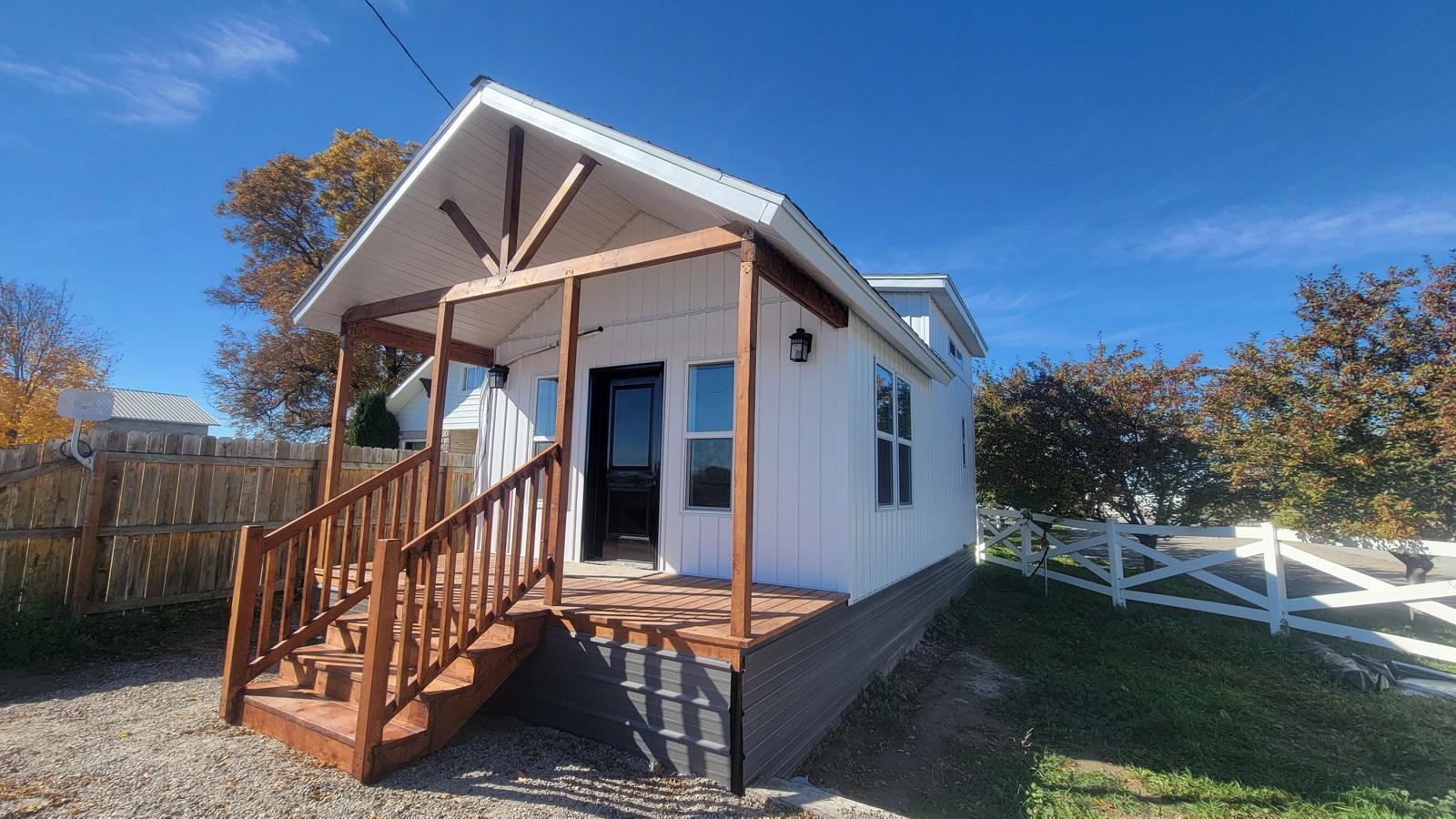
- 30 College Avenue ApartmentsApartmentRexburg · 11 mi away

- Autumn Arbor CondoCondo · sleeps 6 · 2 bdRexburg · 11 mi away