New Projects
Brio Vista Subdivision in Boise: 36 Hillside Homes on Hill Road Parkway Go to City Council
Article
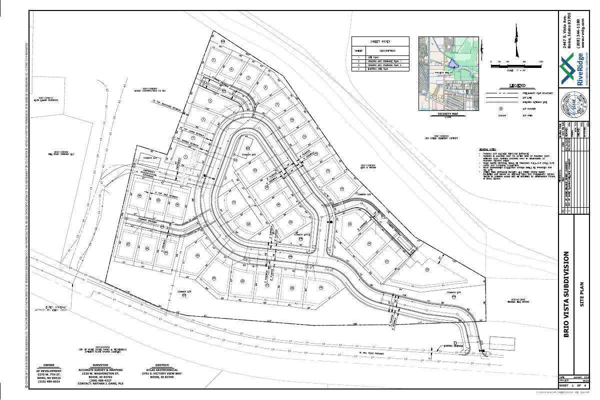
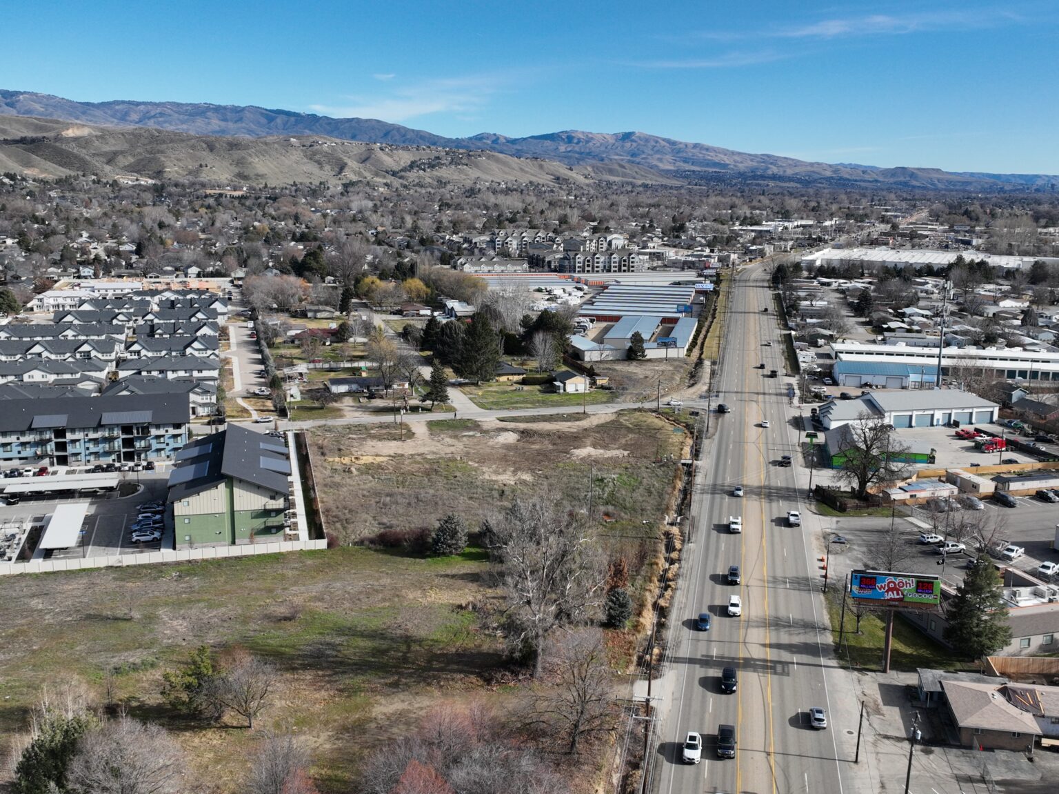
BOISE — Brio Vista Subdivision, a plan for 36 homes on about 8.18 acres of hillside land at 10512 W. Hill Road Parkway in Boise, goes before the Boise City Council on Tuesday, Nov. 17. The applicants are asking the city to annex the land with R-1C zoning (Residential: Traditional) and a Hillside Development Overlay, and to approve a preliminary plat with 36 buildable lots and nine common lots, according to the city's project memo for the hearing (cases CAR25-00029 and SUB25-00101).
GF Development is the developer, with Rodney Evans + Partners handling landscape architecture and planning and RiveRidge Engineering as the civil engineer, according to the city file on Boise Builds.
Planning and Zoning Commission already backed Brio Vista
At its Oct. 12 hearing, the Boise Planning and Zoning Commission approved the project's category 3 hillside development permit for grading, along with variances, and recommended that the City Council approve the annexation and preliminary plat. All of those actions were taken on the commission's consent agenda. Because the hillside permit and variances were decided by the commission, only the annexation and plat are before the council.
The variances allow no sidewalk on one side of the entrance road, where terraced retaining walls are planned, keep the existing streetscape along Hill Road Parkway, and let two common driveways run longer than 150 feet.
What Brio Vista would look like
Every home would be reached from a private street or a shared driveway. The private street connects to Hill Road Parkway at the southeast corner of the site and would have detached sidewalks on both sides of the internal loop. A condition of approval would put a public access easement over the streets and sidewalks so the public can use them too.
In the original letter of intent, the applicant listed a minimum lot size of 4,050 square feet and an average of 5,119 square feet, and said about 1.9 acres of common open space would be kept and protected, with hillside improvements or landscaping for residents. An easement within a common lot would allow a possible future pathway along the Farmers Union Canal. Emergency access is planned through the parcel to the west, which is not part of this annexation.
Sewer, schools and hillside work
There is no city sewer next to the site today. Sewer would be extended from Horseshoe Bend Road to the intersection of Hill Road Parkway and Horseshoe Bend Road, then along Hill Road Parkway into the property. Water lines already run along the site's Hill Road Parkway frontage, and stormwater would soak into underground facilities on site.
The Boise School District submitted a comment with no opposition to the project. The district noted that the private road and on-street parking layout would keep it from offering curbside school bus pickup and drop-off, and said the developer has made arrangements to meet its requirements. City planners found the plan consistent with Blueprint Boise and the Northwest Neighborhood Plan, which call for protecting natural features and revegetating slopes to limit erosion.
More on Boise growth and homes
Treasure Idaho has also covered Clarus Town Center's 66 townhomes in Harris Ranch and the Roe Street homes planned on State Street. See the Boise city guide, browse new home communities in Boise, check homes for sale in Boise, or read more Boise growth news. Thank you for reading Treasure Idaho.
Sources
- City of Boise: Project memo for the Nov. 17, 2026 City Council meeting, CAR25-00029 & SUB25-00101 (10512 W Hill Road Parkway)
- City of Boise: Staff report for the Oct. 12, 2026 Planning and Zoning Commission meeting, with application materials
- Boise Builds: SUB25-00101, Brio Vista Subdivision (City of Boise file, including site and landscape plans)
More from Boise
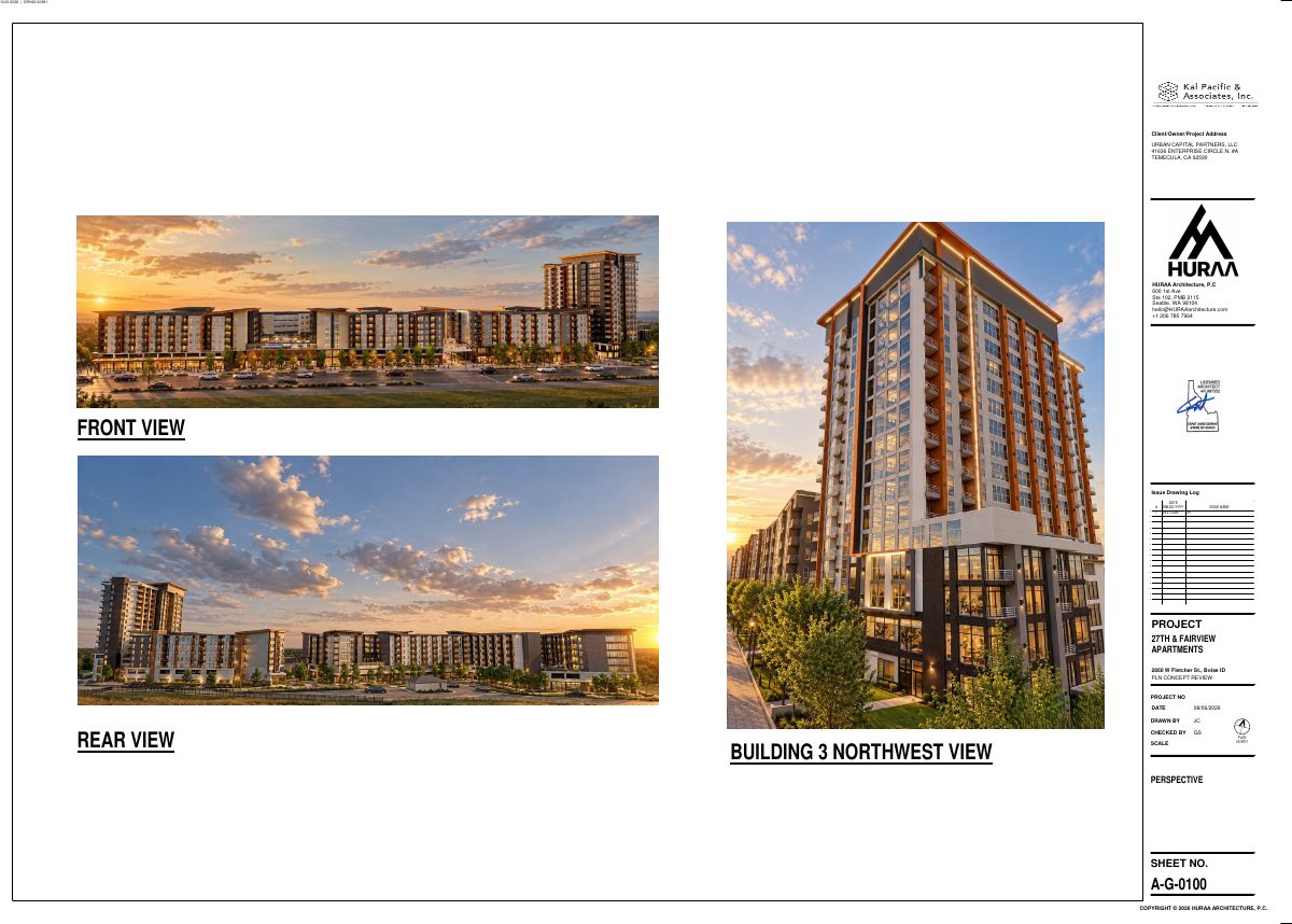
See all- 27th & Fairview Apartments in Boise File Revised Plans for 713 Homes and a 16-Story TowerBoise · Nov 14, 2026
- Former Rite Aid Redesign on Boise's State Street Seeks Delay to Dec. 9 for Revised PlansBoise · Nov 13, 2026

- Clarus Town Center in Boise: 66 Harris Ranch Townhomes Clear Planning CommissionBoise · Nov 12, 2026
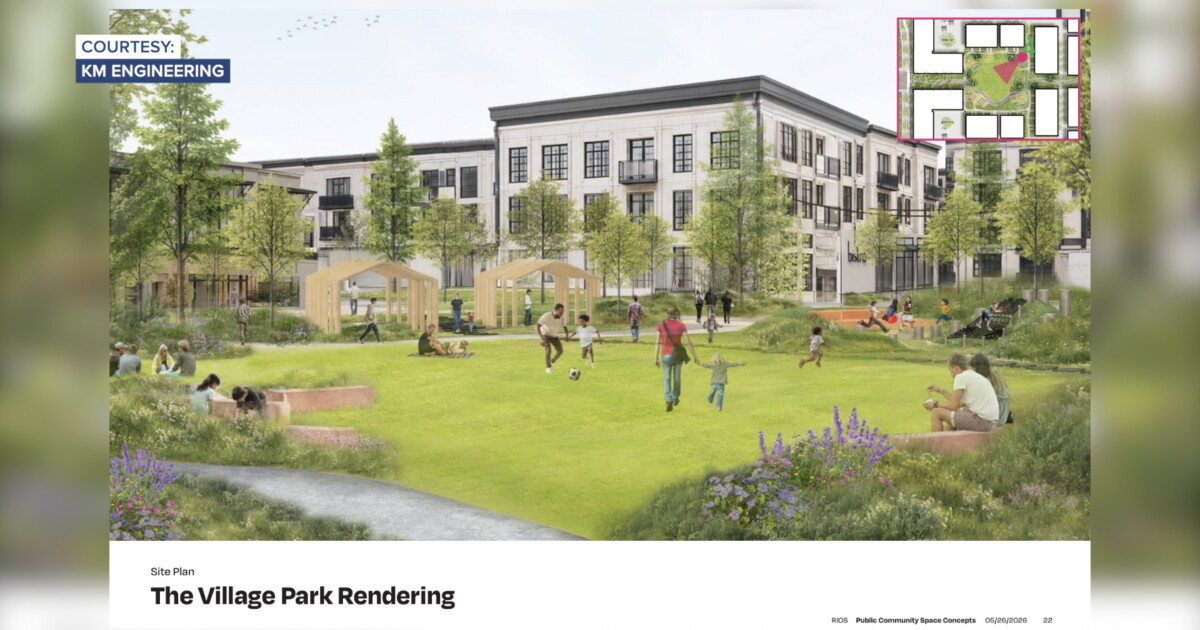
- Roe Street Multi-Family Homes in Boise: CCDC Picks Plan for 90 Homes on State StreetBoise · Nov 11, 2026
- Pleasant Valley Business Park Takes Shape South of the Boise AirportBoise · Nov 10, 2026

- Westlock Village in Boise: 256 Apartments on State Street Eye December StartBoise · Nov 9, 2026